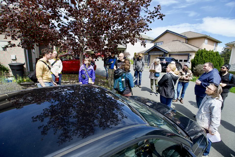
Residents of Langford’s Thetis Heights neighbourhood and surrounding areas took a stroll through their community Saturday, brainstorming ideas to make it more pedestrian-friendly.
The community walk was organized by University of Victoria master’s student Colby Harder, a resident of the area and research assistant with the university’s Walk Roll Map program.
“It’s to look at identifying pedestrian barriers, hazards, and all sorts of things that make it feel unsafe or uncomfortable so that we can map them on walkrollmap.org,” said Harder. “Langford is a very fast growing community – and that’s very exciting – but it means we need to build out the infrastructure here.”
A group of around 20 community members joined the walk, representing a wide cross-section of the community, varying in age and mobility. Harder said bringing that diversity to these walks is ideal as it allows them to collect information from a range of experiences and perspectives.
Beyond looking at safety concerns, the walk also sought to explore quality of life improvements the community would like to see in the neighbourhood.
At one of several stops made along the walk, at a community gazebo for example, residents commented that adding a bench would make the space much more usable, and increasing wayfinding signage would ensure more residents were aware of what amenities are available to them.
“There is lots of talk about more sidewalks and more infrastructure in general,” said Harder. “The cool thing about our website is it allows you to map out hazards or incidents you have had.”
She said the information collected on these walks and on the mapping website is meant to be shared with municipalities so they may consider it when planning upgrades to existing neighbourhoods, or building brand-new neighbourhoods.
More such walks are being planned for other neighbourhoods in the near future, and Harder said residents are encouraged to get in touch if they would like one organized in their neighbourhood through the Walk Roll Map Facebook page.
READ MORE: Survey sample says 59% get out walking or cycling daily in Oak Bay
justin.samanski-langille@goldstreamgazette.com
Like us on Facebook and follow us on Twitter.