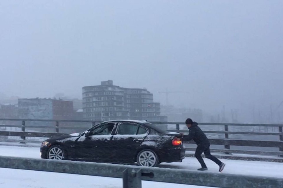
In a 24-hour period, Greater Victoria was hit with more snow than Mount Washington.
In fact, Victoria has seen more snow this month than in any other February on record – since 1941.
Victoria received 23 centimetres of snow compared to Mount Washington’s report of 11 cm and the Malahat is buried under 20 cm of snow.
After Monday night’s snow fall, the past record of 39.4 cm, recorded in 2014 at the Victoria International Airport, was shattered by leaps and bounds – over 56.4 cm of snow has fallen this month – and it’s only Feb. 12.
The average snowfall recorded at the airport in February is 6.3 centimetres but the latest 23-cm-snowfall event more than tripled that amount.
“Victoria seems to have taken the brunt of the snowfall, and the amounts decrease as you move northwards,” said Matt MacDonald, warning preparedness meteorologist for Environment and Climate Change Canada.
North of Victoria, Island communities are seeing significantly less white stuff on the ground. While Nanaimo received 20 cm and Port Alberni 19, Qualicum only got 10 cm and Campbell River only saw six.
That might seem unusual to some Islanders, who are used to seeing snow hit northern communities hardest.
The snow is adding up! Here are the numbers as of 7am on Tuesday, February 12, 2019. Stay tuned for updates as the flurries continue to fly! #BCstorm pic.twitter.com/otpLMl7D14
— ECCC Weather British Columbia (@ECCCWeatherBC) February 12, 2019
RELATED: Another snow day for Greater Victoria following night of snow fall
RELATED: Power out at Victoria International Airport
MacDonald explained that heavy snow across the South Island comes from Arctic air mixing with condensation.
As it was blowing in over the weekend, Arctic air picked up moisture and brought some snowfall and bitter cold winds with it – now it’s stalled over the South Coast and is mixing with condensation, creating record-breaking rates of snowfall.
“Incoming moisture just clashes with that incoming air and produces some impressive snowfall amounts,” he said.
Environment Canada’s seven-day forecast shows a chance of flurries and rain heading into the weekend, and temperatures up to five degrees by Saturday.
MacDonald said snow will stick around on the ground for at least the next few days,
“We will be losing a lot of snow with those showers but there’s definitely a lot on the ground right now,” he said, adding that more snow is always a possibility.
RELATED: 80,000 litres of brine, 45 plows used to de-ice roads Sunday night
23cms and counting at both #YYJ and on the #Malahat. Over 20cms around most of greater #Victoria. Another 5cm expected today. If you absolutely need to drive today, be sure to check @DriveBC before heading out #BCstorm pic.twitter.com/hyqbSCXk9e
— ECCC Weather British Columbia (@ECCCWeatherBC) February 12, 2019
nina.grossman@blackpress.ca
Like us on Facebook and follow us on Twitter